©版权所有:科学足迹出版社有限公司 技术支持: e投稿系统
地址:WING TAT COMMERCIAL BUILDING 121-125 WING LOK STREET SHEUNG WAN HK 联系电话(香港):+852-39622376
 |
书名: |
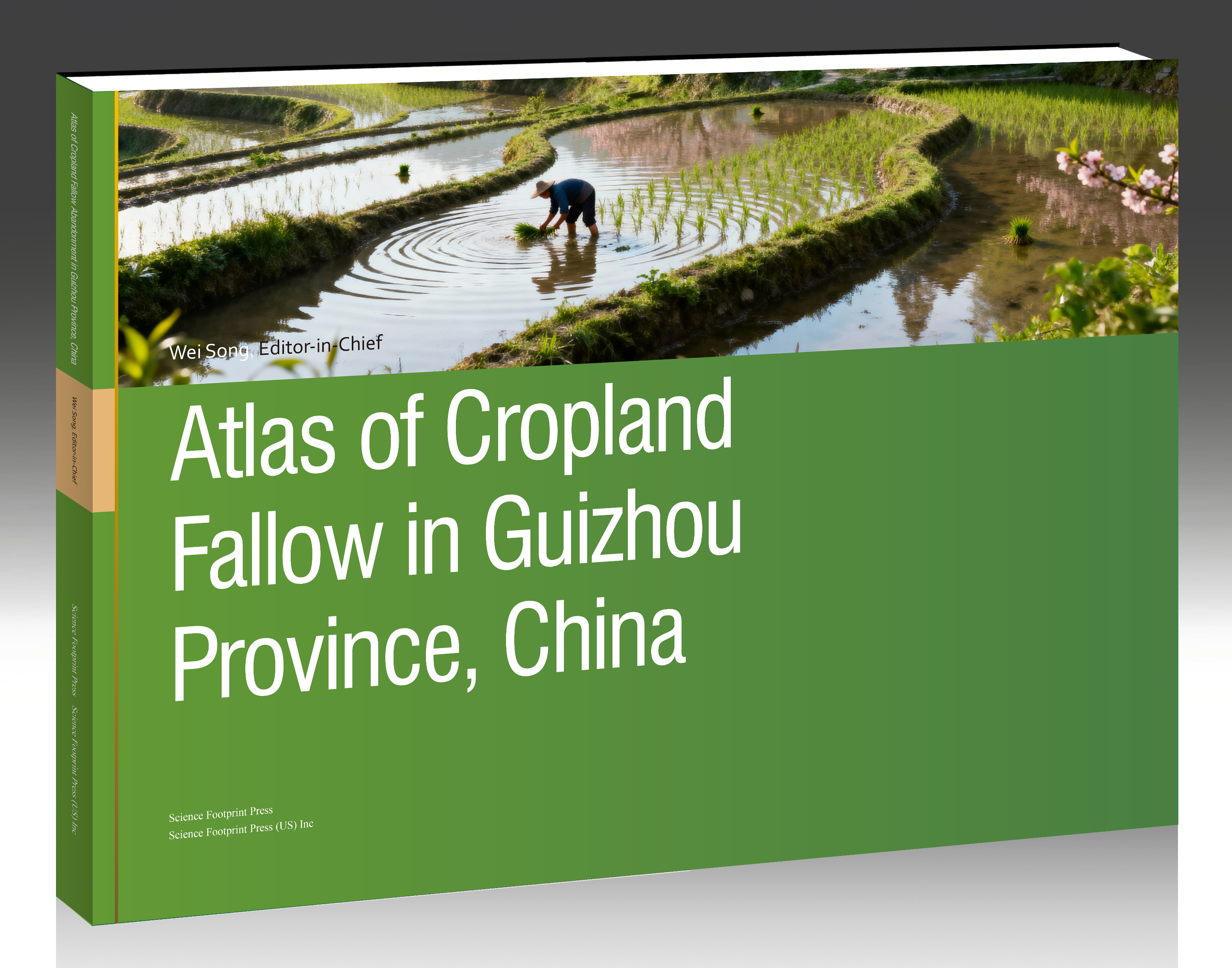
Atlas of Cropland Fallow in Guizhou Province, China |
| 作者: |
Wei Song, Editor-in-Chief |
|
| ISBN: |
979-8-9992829-2-7 |
|
| DOI: |
https://dx.doi.org/10.48014/979-8-9992829-2-7 |
|
| 出版日期: | 2025年 | |
| 编委会: |
Editor-in-Chief Wei Song Institute of Geographic Sciences and Natural Resources Research, Chinese Academy of Sciences, Beijing, China Associate Editors Xuyang Zhang Anhui University of Science and Technology, Huainan, China Tao Wang Guizhou Provinical Supervision and Inspection Station for Surveying and Mapping Product Quality, Guiyang, China Ze Han Institute of Geographic Sciences and Natural Resources Research, Chinese Academy of Sciences, Beijing, China Editors Liang Wang China University of Geosciences, Wuhan, China Ying Liu Anhui University of Science and Technology, Huainan, China Shouhai Shi Wuhan University, Wuhan, China Yuntong Liu Yellow River Conservancy Technical University, Kaifeng, China Huirang Liu Lanzhou University, Lanzhou, China Shize Pang Northeast Normal University, Changchun, China Yilin Wang Southwest University, Chongqing, China Chengcheng Li Xiamen University, Xiamen, China Jiahe Yu Anqing Normal University, Anqing, China
|
|
| 摘 要: |
Guizhou Province is situated in Southwest China and forms an integral part of the Yunnan-Guizhou Plateau. Its geomorphic pattern is dominated by plateau mountains, which account for over 90% of the province’s total area. The terrain exhibits a general west-to-east downward slope: Jiucaiping, the main peak of the Wumeng Mountains in the west, reaches an elevation of 2,900.6 meters (the province’s highest point), while the exit of the Shuikou River in Diping Township, Qiandongnan Miao and Dong Autonomous Prefecture (eastern Guizhou), has an elevation of only 147.8 meters—resulting in a relative elevation difference of 2,752.8 meters. The average elevation of the province is approximately 1,100 meters. Notably, Guizhou hosts the most typical karst landforms in Southwest China, with widespread peak forests, karst caves, and rocky desertification; karst areas cover 61.9% of the province’s total area, rendering Guizhou a representative ecologically fragile and sensitive region in China. Against the dual drivers of global climate change and rapid urbanization, Guizhou’s land use/land cover pattern has undergone profound transformations. Among these, the evolution of cropland fallow—linked not only to adjustments in agricultural production structures but also to the restoration of fragile karst ecosystems—has emerged as a core theme in research on regional human-land relationship coordination and sustainable development. This atlas focuses on Guizhou Province as its study area. Leveraging multi-source remote sensing data, Geographic Information System (GIS) technology, and long-term ground observation data, it systematically documents the dynamic changes in land use from 2000 to 2023, with particular emphasis on the spatiotemporal distribution, temporal evolutionary patterns, and driving mechanisms of cropland fallow. Its content spans multiple dimensions, including the natural geographical background, data sources and preprocessing methods, spatiotemporal evolution of land use patterns, definitions and identification criteria for cropland fallow, provincial-level dynamic maps of fallow land, and the distribution of fallow land changes at the municipal level across different years. Given that Guizhou’s cropland is predominantly distributed on mountain slopes, and that dam-based cropland overlaps with ecological protection red lines, this atlas endeavors to present a comprehensive overview of cropland fallow changes in Guizhou, spanning macro to micro scales and integrating overall and local perspectives. In terms of research methods and data processing, the atlas employs a unified coordinate system and spatial resolution. To address challenges such as ambiguous cropland boundaries and high remote sensing interpretation difficulty—attributed to Guizhou’s karst landforms—the sliding window method was applied to conduct temporal correction of cropland use status. This approach effectively mitigates random errors in remote sensing classification and significantly enhances the accuracy of fallow land identification. Beyond intuitively visualizing the spatial distribution of fallow land, the atlas also delineates the conversion pathways of fallow land use through specific status classifications (e.g., “one-year fallow,” “two-year fallow”), providing a visualization tool to understand the dynamic cycles of cropland resources and ecological-agricultural synergy in Guizhou. This atlas aims to provide scientific evidence and data support for territorial spatial planning in Guizhou Province, the formulation of ecological restoration policies in karst regions, the precise management of agricultural resources, and research on regional sustainable development. Through the systematic mapping and analysis of land use and cropland fallow in Guizhou, this work is expected to advance understanding of the coupling mechanisms of human-land systems in karst regions—specifically the role of fallow land in mitigating soil erosion, ameliorating rocky desertification, and optimizing agricultural production layouts—and to offer a reference framework for collaborative research on cropland fallow and ecological protection in karst areas of Southwest China and other ecologically fragile regions. This work was supported by the Project of National Natural Science Foundation of China (grant number 42071233).
|
|
| 目 录: |
Front Cover Copyright Page Preface Contents 1 Natural and Socio-Economic Environment 1.1 Data and Preprocessing Methods 1.2 Mapping Natural and Socio-Economic Environment of Guizhou Province, China Elevation in Guizhou Province Slope in Guizhou Province Aspect in Guizhou Province Average Annual Precipitation in Guizhou Province in 2022 Average Annual Temperature in Guizhou Province in 2022 Average Actual Evapotranspiration in Guizhou Province in 2022 Average Potential Evapotranspiration in Guizhou Province in 2022 Average Sunshine Duration in Guizhou Province in 2022 Average Relative Humidity in Guizhou Province in 2022 Average GDP in Guizhou Province in 2022 Average Population Density in Guizhou Province in 2022 Average Night Light in Guizhou Province in 2022 2 Land Use/Land Cover 2.1 Temporal and Spatial Evolution of Land Use/Land Cover in Guizhou Province (2000-2023) 2.2 Mapping Land Use/Land Cover of Guizhou Province, China Land Use/Land Cover in Guizhou Province in 2000 Land Use/Land Cover in Guizhou Province in 2001 Land Use/Land Cover in Guizhou Province in 2002 Land Use/Land Cover in Guizhou Province in 2003 Land Use/Land Cover in Guizhou Province in 2004 Land Use/Land Cover in Guizhou Province in 2005 Land Use/Land Cover in Guizhou Province in 2006 Land Use/Land Cover in Guizhou Province in 2007 Land Use/Land Cover in Guizhou Province in 2008 Land Use/Land Cover in Guizhou Province in 200 Land Use/Land Cover in Guizhou Province in 2010 Land Use/Land Cover in Guizhou Province in 2011 Land Use/Land Cover in Guizhou Province in 2012 Land Use/Land Cover in Guizhou Province in 2013 Land Use/Land Cover in Guizhou Province in 2014 Land Use/Land Cover in Guizhou Province in 2015 Land Use/Land Cover in Guizhou Province in 2016 Land Use/Land Cover in Guizhou Province in 2017 Land Use/Land Cover in Guizhou Province in 2018 Land Use/Land Cover in Guizhou Province in 201 Land Use/Land Cover in Guizhou Province in 202 Land Use/Land Cover in Guizhou Province in 2021 Land Use/Land Cover in Guizhou Province in 2022 Land Use/Land Cover in Guizhou Province in 2023 Land Use/Cover Change in Guizhou Province from 2000 to 2005 Land Use/Cover Change in Guizhou Province from 2005 to 2010 Land Use/Cover Change in Guizhou Province from 2010 to 2015 Land Use/Cover Change in Guizhou Province from 2020 to 2023 3 Cropland Fallow 3.1 Concepts and Definitions of Fallowing in China 3.2 Data Production Process of Fallowing in China 3.3 Temporal and Spatial Evolution Law of Cropland Fallow in Guizhou Province (2000-2023) 45 3.4 Mapping Cropland Fallow of Guizhou Province, China Cropland fallow in Guizhou Province in 2001 Cropland fallow in Guizhou Province in 2002 Cropland fallow in Guizhou Province in 2003 Cropland fallow in Guizhou Province in 2004 Cropland fallow in Guizhou Province in 2005 Cropland fallow in Guizhou Province in 2006 Cropland fallow in Guizhou Province in 2007 Cropland fallow in Guizhou Province in 2008 Cropland fallow in Guizhou Province in 200 Cropland fallow in Guizhou Province in 2010 Cropland fallow in Guizhou Province in 2011 Cropland fallow in Guizhou Province in 2012 Cropland fallow in Guizhou Province in 2013 Cropland fallow in Guizhou Province in 2014 Cropland fallow in Guizhou Province in 2015 Cropland fallow in Guizhou Province in 2016 Cropland fallow in Guizhou Province in 201 Cropland fallow in Guizhou Province in 201 Cropland fallow in Guizhou Province in 2019 Cropland fallow in Guizhou Province in 2020 Cropland fallow in Guizhou Province in 2021 Cropland fallow in Guizhou Province in 2022 Cropland fallow in Guizhou Province in 2023 Cropland fallow change in Guizhou Province from 2002 to 2005 Cropland fallow change in Guizhou Province from 2005 to 2010 Cropland fallow change in Guizhou Province from 2010 to 2015 Cropland fallow change in Guizhou Province from 2015 to 202 Cropland fallow change in Guizhou Province from 2020 to 2023 Cropland fallow change in Anshun City from 2002 to 200 Cropland fallow change in Anshun City from 2005 to 201 Cropland fallow change in Anshun City from 2010 to 2015 Cropland fallow change in Anshun City from 2015 to 2020 Cropland fallow change in Anshun City from 2020 to 2023 Cropland fallow change in Anshun City from 2002 to 2023 Cropland fallow change in Bijie City from 2002 to 2005 Cropland fallow change in Bijie City from 2005 to 2010 Cropland fallow change in Bijie City from 2010 to 2015 Cropland fallow change in Bijie City from 2015 to 2020 Cropland fallow change in Bijie City from 2020 to 2023 Cropland fallow change in Bijie City from 2002 to 202 Cropland fallow change in Guiyang City from 2002 to 2005 Cropland fallow change in Guiyang City from 2005 to 201 Cropland fallow change in Guiyang City from 2010 to 2015 Cropland fallow change in Guiyang City from 2015 to 2020 Cropland fallow change in Guiyang City from 2020 to 202 Cropland fallow change in Liupanshui City from 2002 to 200 Cropland fallow change in Liupanshui City from 2005 to 201 Cropland fallow change in Liupanshui City from 2010 to 2015 Cropland fallow change in Liupanshui City from 2015 to 2020 Cropland fallow change in Liupanshui City from 2020 to 2023 Cropland fallow change in Liupanshui City from 2002 to 2023 Cropland fallow change in Qiandongnan Miao and Dong Autonomous Prefectur from 2002 to 2005 Cropland fallow change in Qiandongnan Miao and Dong Autonomous Prefectur from 2005 to 201 Cropland fallow change in Qiandongnan Miao and Dong Autonomous Prefectur from 2010 to 2015 Cropland fallow change in Qiandongnan Miao and Dong Autonomous Prefectur from 2015 to 2020 Cropland fallow change in Qiandongnan Miao and Dong Autonomous Prefectur from 2020 to 2023 Cropland fallow change in Qiandongnan Miao and Dong Autonomous Prefectur from 2002 to 2023 Cropland fallow change in Qiannan Buyi and Miao Autonomous Prefecture from 2002 to 2005 Cropland fallow change in Qiannan Buyi and Miao Autonomous Prefecture from 2005 to 2010 Cropland fallow change in Qiannan Buyi and Miao Autonomous Prefecture from 2010 to 201 Cropland fallow change in Qiannan Buyi and Miao Autonomous Prefecture from 2015 to 2020 Cropland fallow change in Qiannan Buyi and Miao Autonomous Prefecture from 2020 to 2023 Cropland fallow change in Qiannan Buyi and Miao Autonomous Prefecture from 2002 to 2023 Cropland fallow change in Qianxinan Buyi and Miao Autonomous Prefecture from 2002 to 2005 Cropland fallow change in Qianxinan Buyi and Miao Autonomous Prefecture from 2005 to 2010 Cropland fallow change in Qianxinan Buyi and Miao Autonomous Prefecture from 2010 to 2015 Cropland fallow change in Qianxinan Buyi and Miao Autonomous Prefecture from 2015 to 2020 Cropland fallow change in Qianxinan Buyi and Miao Autonomous Prefecture from 2020 to 2023 Cropland fallow change in Qianxinan Buyi and Miao Autonomous Prefecture from 2002 to 2023 Cropland fallow change in Tongren City from 2002 to 2005 Cropland fallow change in Tongren City from 2005 to 201 Cropland fallow change in Tongren City from 2010 to 2015 Cropland fallow change in Tongren City from 2015 to 2020 Cropland fallow change in Tongren City from 2020 to 2023 Cropland fallow change in Tongren City from 2002 to 2023 Cropland fallow change in Zunyi City from 2002 to 2005 Cropland fallow change in Zunyi City from 2005 to 2010 Cropland fallow change in Zunyi City from 2010 to 2015 Cropland fallow change in Zunyi City from 2015 to 2020 Cropland fallow change in Zunyi City from 2020 to 2023 Cropland fallow change in Zunyi City from 2002 to 2023 Back Cover |
|
| 尺寸: | A2(594mmx420mm) 140 pages | |
| 字数: | 733.200 characters | |
| 电子书定价: | 开源免费,点击下载全文 | |
| 纸质书定价: |
290 USD,订购邮箱:book@scifootprint.com |
|
| 微信客服: |  |
|